The Improbable Dreamer
Questioning Everything · vintage maps, airships & lost history
Start Here






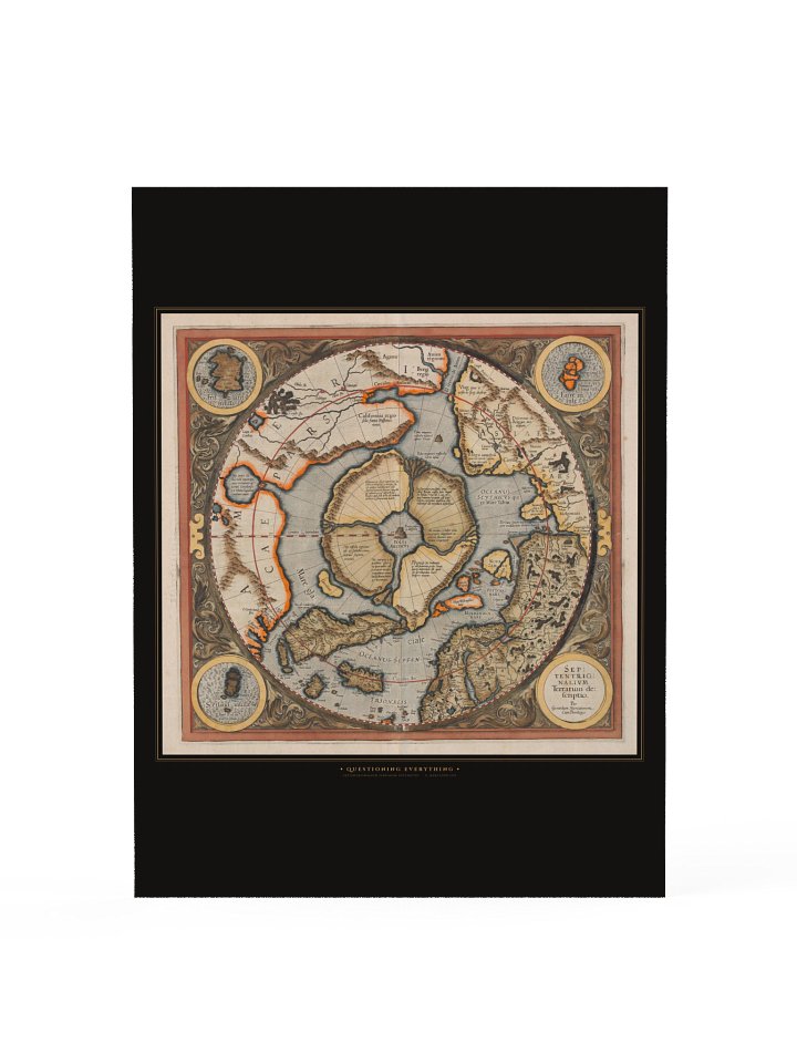
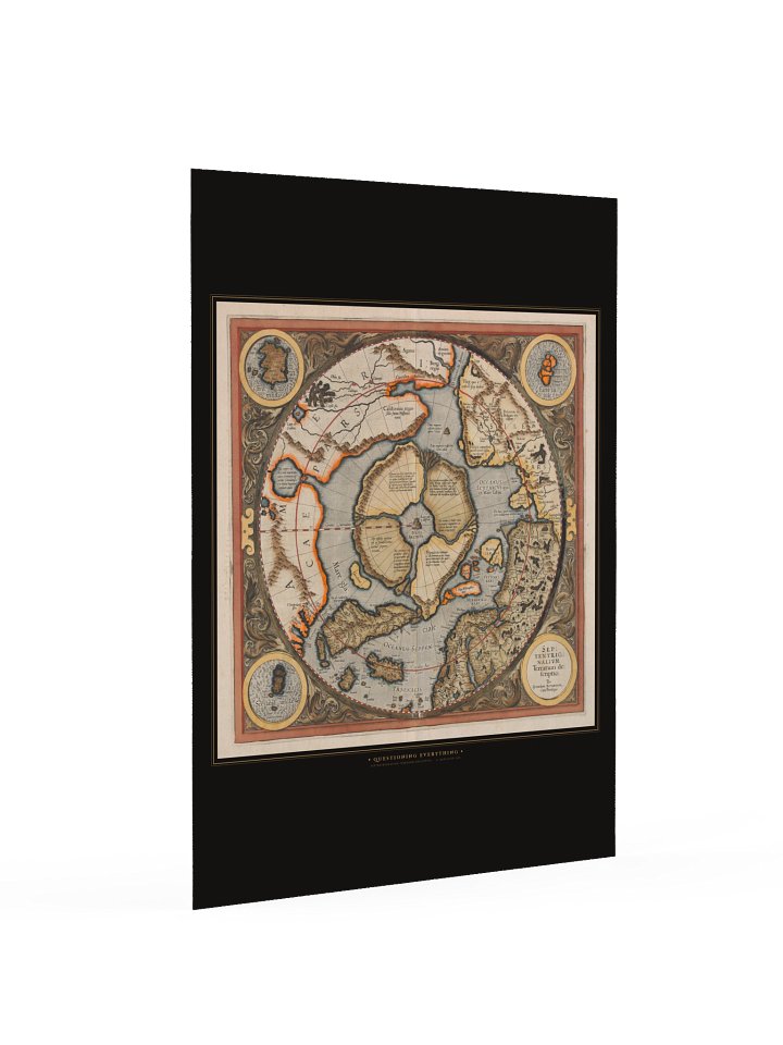


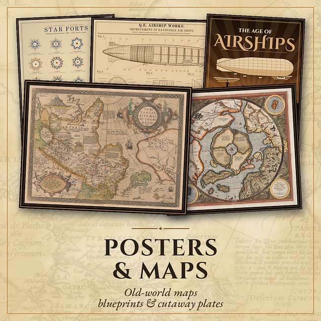
Explore the Collections
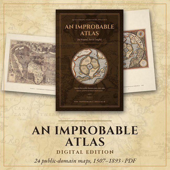

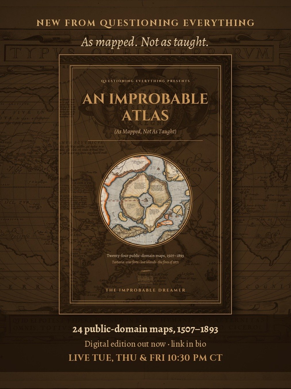
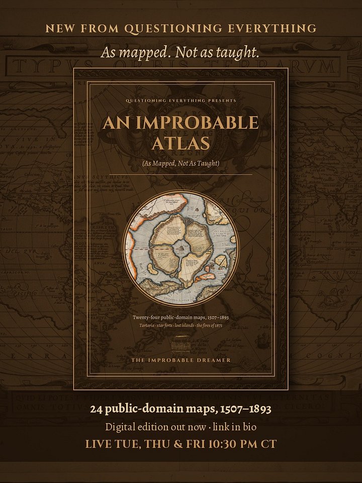
An Improbable Atlas
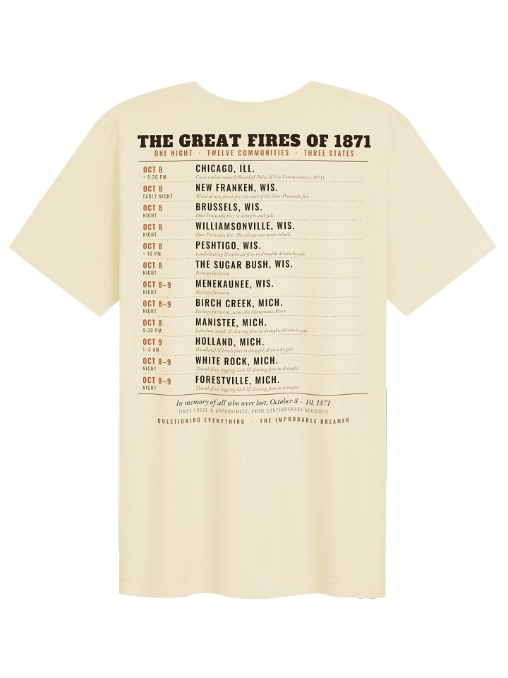
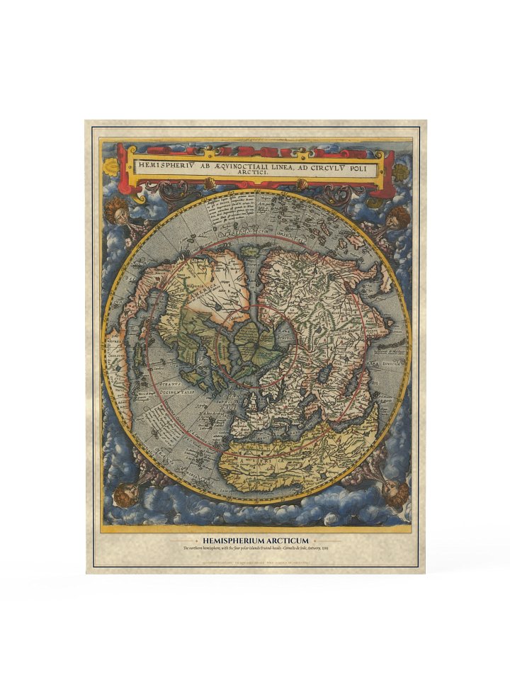
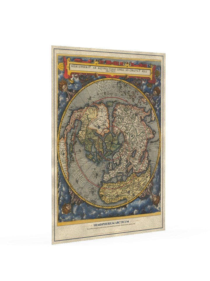
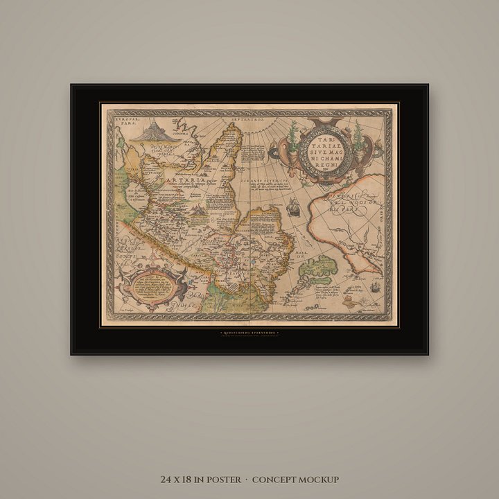
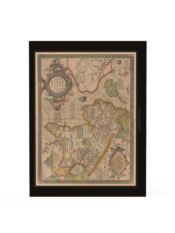
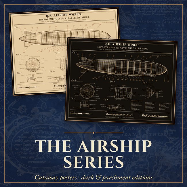
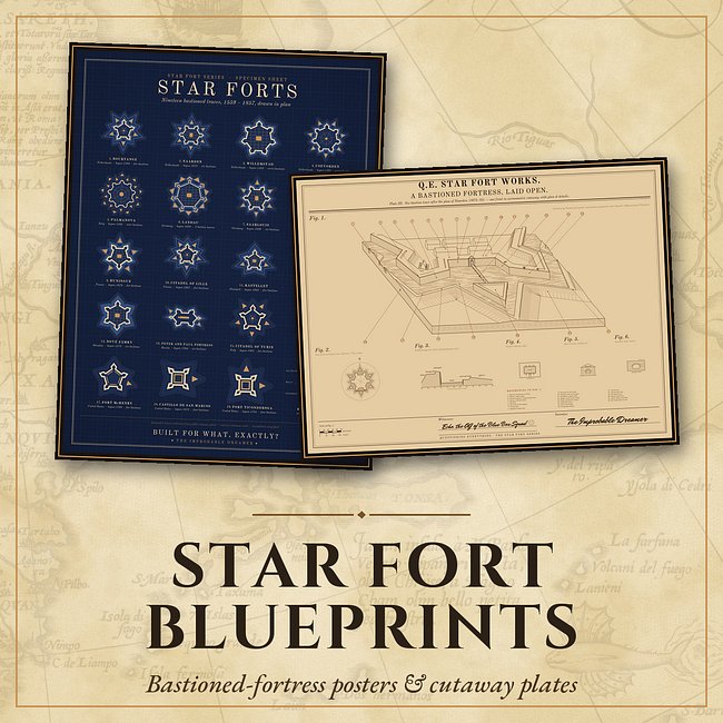
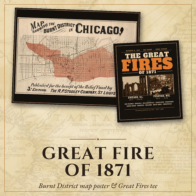
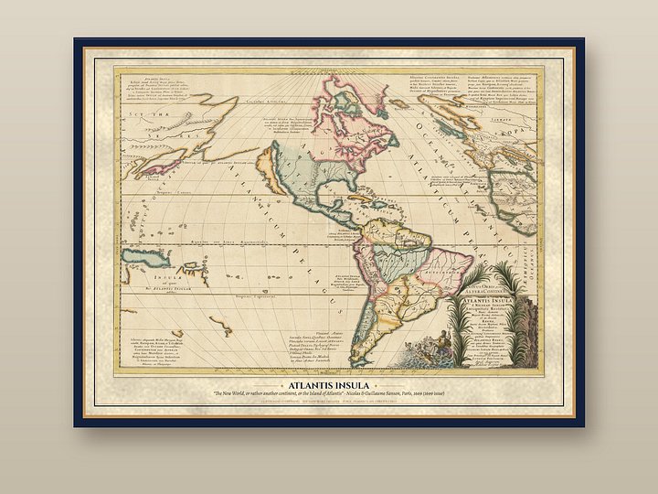
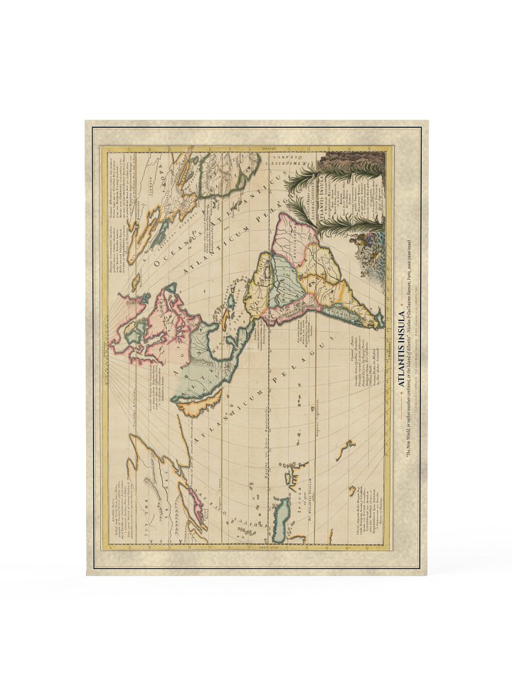
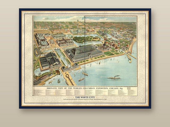
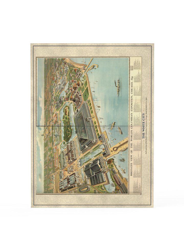
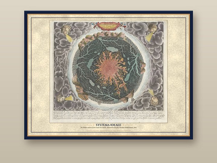
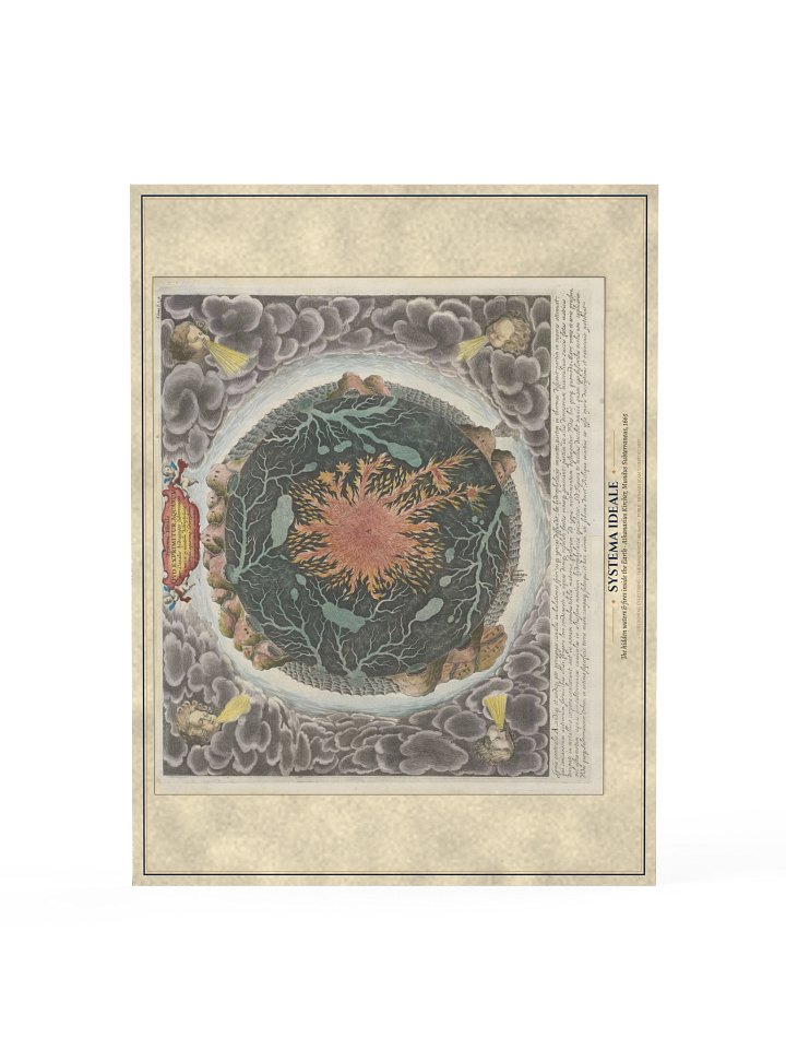
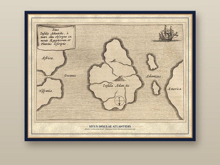
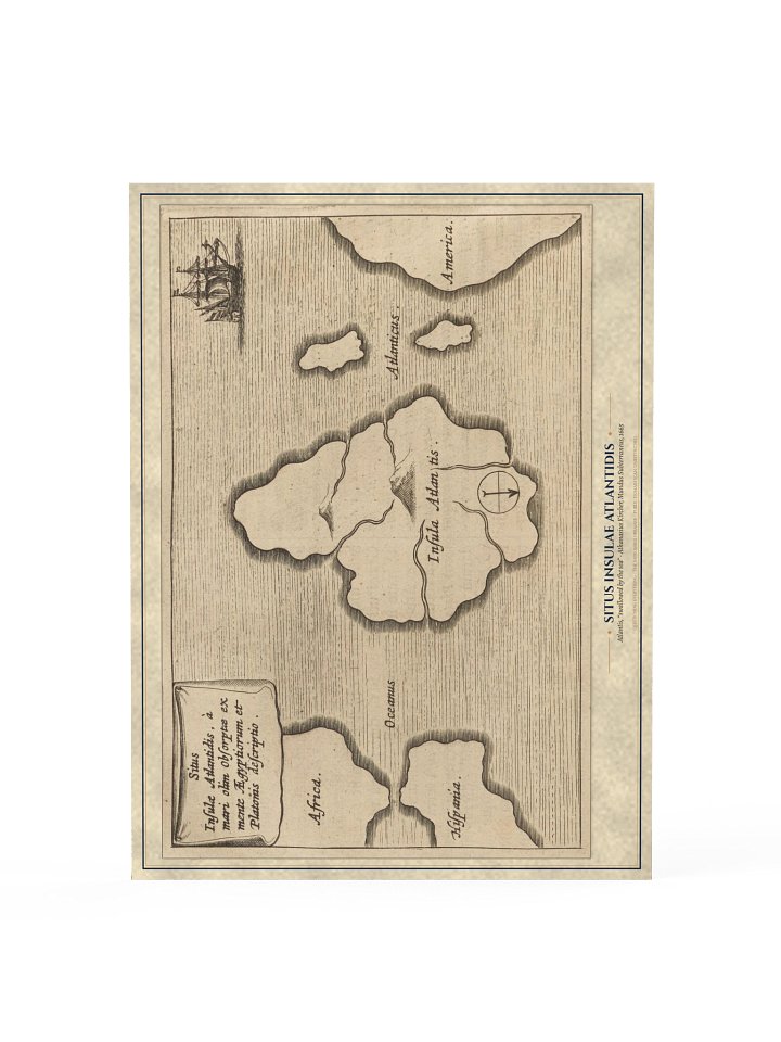
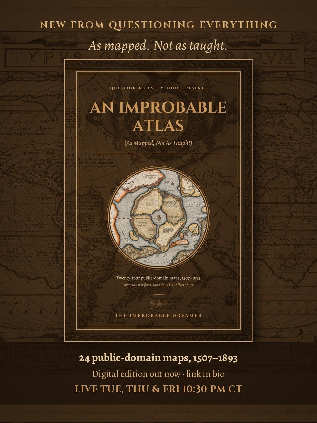
Twenty-four public-domain maps, 1507-1893, as they were actually drawn: Tartaria, Rupes Nigra and the vanished polar islands, phantom islands, star forts, and the night the Midwest burned in 1871. 56 pages, each map with a short caption on what it shows and what it raises. Instant PDF download, sized 6x9 for reading on any screen. As mapped, not as taught.